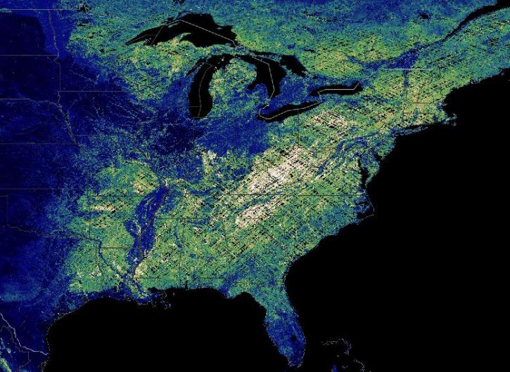
Terrestrial Ecosystems Data Access and Tools
NASA has terrestrial ecosystem datasets that help researchers characterize natural areas around the world. Access a range of data and data tools such as AppEEARS, Worldview, and Giovanni to make the most of terrestrial ecosystem data.
Terrestrial Ecosystems Datasets
| Dataset Sort descending | Version | Platforms | Instruments | Temporal Extent | Spatial Extent | Spatial Resolution | Data Format |
|---|---|---|---|---|---|---|---|
| AirMOSS: L4 Daily Modeled Net Ecosystem Exchange (NEE), AirMOSS sites, 2012-2014 | 1 | C-130 | Computer | 2012-01-01 to 2014-10-30 |
N: 45.7861 S: 31.4912 E: -68.3359 W: -122.883 |
netCDF-4 classic | |
| ALOS PALSAR High Resolution Radiometric Terrain Corrected Product | 1 | ALOS | PALSAR | 2006-03-23 to 2011-04-22 |
N: 90 S: -90 E: 180 W: -180 |
||
| ALOS PALSAR Low Resolution Radiometric Terrain Corrected Product | 1 | ALOS | PALSAR | 2006-03-23 to 2011-04-22 |
N: 90 S: -90 E: 180 W: -180 |
||
| ALOS-2 PALSAR-2 Level 1 ScanSAR Product | 1 | ALOS-2 | PALSAR-2 | 2014-08-01 to Present |
N: 90 S: -90 E: 180 W: -180 |
ZIP | |
| Amazon Forest Structure from Airborne Lidar, ED2 Initial Condition Files, 2016 | 1 | COMPUTERS, AIRCRAFT | Computer, LIDAR | 2016-01-01 to 2016-12-31 |
N: 5 S: -14 E: -45 W: -74 |
multiple | |
| An Unexpectedly Large Count of Trees in the West African Sahara and Sahel | 1 | MODELS | Computer | 2005-11-01 to 2018-03-31 |
N: 24.0294 S: 11.3531 E: -5.48513 W: -18 |
multiple | |
| Annual Aboveground Biomass Maps for Forests in the Northwestern USA, 2000-2016 | 1 | Airplane, MODELS | LIDAR, Computer | 2000-01-01 to 2016-12-31 |
N: 50.7921 S: 39.8116 E: -110.312 W: -127.524 |
GeoTIFF | |
| Annual Burned Area from Landsat, Mawas, Central Kalimantan, Indonesia, 1997-2015 | 1 | LANDSAT | ETM+, TM, OLI | 1997-01-01 to 2015-12-31 |
N: -2.21458 S: -2.50241 E: 114.609 W: 114.39 |
Shapefile | |
| Arctic Boreal Annual Burned Area, Circumpolar Boreal Forest and Tundra, V2, 2002-2022 | 2 | COMPUTERS, Terra | Computer, MODIS | 2002-01-01 to 2022-12-31 |
N: 83.626 S: 50 E: 177.16 W: -179.522 |
COG | |
| Arctic Vegetation Plots at ARCSS/LAII Flux Sites, North Slope, Alaska, 1995-1996 | 1 | FIELD SURVEYS | VISUAL OBSERVATIONS | 1995-08-15 to 1996-08-18 |
N: 70.2835 S: 68.49 E: -148.59 W: -150.25 |
CSV |
Pagination
Frequently Asked Questions
Earthdata Forum
Our online forum provides a space for users to browse thousands of FAQs about research needs, data, and data applications. You can also submit new questions for our experts to answer.
Submit Questions to Earthdata Forumand View Expert Responses

