We are in the process of migrating all NASA Earth science data sites into Earthdata from now until end of 2026. Not all NASA Earth science data and resources will appear here until then. Thank you for your patience as we make this transition.
Read about the Web Unification Project
Terrestrial Ecosystems Data Access and Tools
NASA has terrestrial ecosystem datasets that help researchers characterize natural areas around the world. Access a range of data and data tools such as AppEEARS, Worldview, and Giovanni to make the most of terrestrial ecosystem data.
Table of contents
Terrestrial Ecosystems Datasets
Pagination
SHOWING 10 OF 298
Featured Terrestrial Ecosystem Observation Method: GEDI Lidar
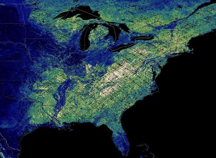
The Global Ecosystem Dynamics Investigation (GEDI) instrument is a full-waveform lidar aboard the International Space Station that maps the 3D structure of Earth’s surface. GEDI's three lasers precisely measure forest canopy height, canopy vertical structure, and surface elevation. The instrument's 3D data provide scientists with measurements to calculate the amount of biomass and carbon in forests and how much they lose when disturbed or destroyed.
Data from NASA’s Global Ecosystem Dynamics Investigation (GEDI) mission are adding to our understanding of carbon cycling and the structure and development of global biomes.
7 MIN READ
Join us for an introduction to GEDI Level 3 and Level 4 data products and to learn how to discover, access, visualize, and analyze the data.
Join us for an introduction to NASA’s Global Ecosystems Dynamics Investigation (GEDI) datasets and to learn how to use LP DAAC's web service, data prep script, and Jupyter Notebook Python tutorial series.
The latest dataset from the GEDI mission provides gridded estimates of aboveground biomass density at greater accuracy and resolution than previously available.
8 MIN READ
Frequently Asked Questions
Earthdata Forum
Our online forum provides a space for users to browse thousands of FAQs about research needs, data, and data applications. You can also submit new questions for our experts to answer.
Submit Questions to Earthdata Forumand View Expert Responses

