Delivery of Suomi National Polar-orbiting Partnership (Suomi NPP) satellite data products will cease on November 1, 2026. Data users should transition now to alternative products from NOAA-21 and NOAA-20.
Suomi NPP data announcement
Precipitation News
Articles, resources, and announcements from Precipitation.

Who uses NASA Earth science data? Dr. Joan Ramage, to study glaciers and snowmelt.
Data User Story
Dec. 22, 2020

Who uses NASA Earth science data? Dr. Christian Kummerow, to study the water budget.
Data User Story
Dec. 22, 2020

Image of Precipitation Rate on 1 November 2020 from IMERG.
Worldview Image of the Week
Nov. 9, 2020

Ground validation campaigns connect the dots between what is being remotely-sensed by a satellite instrument and ongoing Earth processes.
Feature Article
Nov. 4, 2020
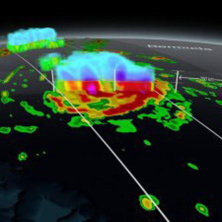
NASA’s global precipitation data and data processing systems have come a long way from the launch of TRMM in 1997 to the ongoing GPM mission.
Feature Article
Nov. 4, 2020

NASA’s GES DISC is hosting a Short Course at the AMS Annual Meeting to provide a foundation for using GES DISC's Giovanni data visualization application.
Feature Article
Nov. 4, 2020
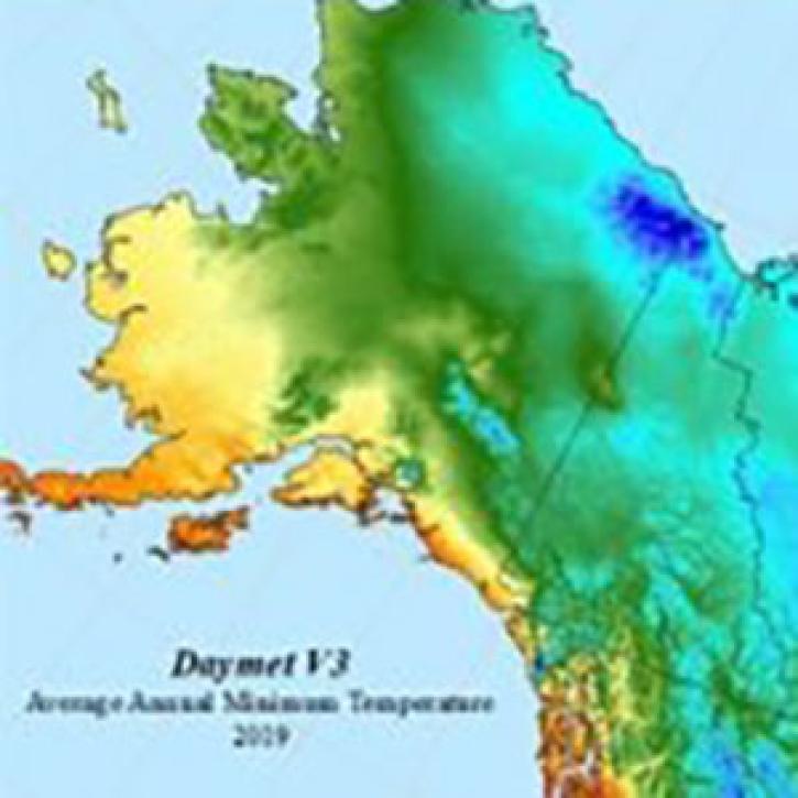
The Daymet dataset at NASA’s Oak Ridge National Laboratory Distributed Active Archive Center (ORNL DAAC) provides nearly 40 years of environmental data about North America.
Feature Article
Nov. 4, 2020
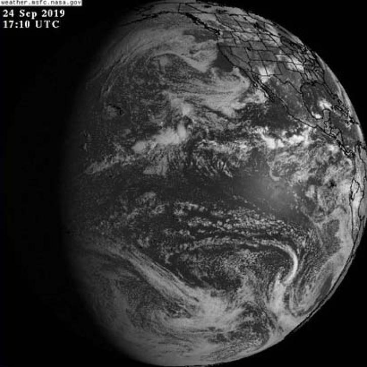
The addition of GOES-East, GOES-West, and Himawari-8 geostationary imagery updated every 10 minutes lets you view Earth as it is “right now.”
Feature Article
Nov. 4, 2020
SHOWING 8 OF 51