We are in the process of migrating all NASA Earth science data sites into Earthdata from now until end of 2026. Not all NASA Earth science data and resources will appear here until then. Thank you for your patience as we make this transition.
Read about the Web Unification Project
Atmosphere News
Articles, resources, and announcements from Atmosphere.
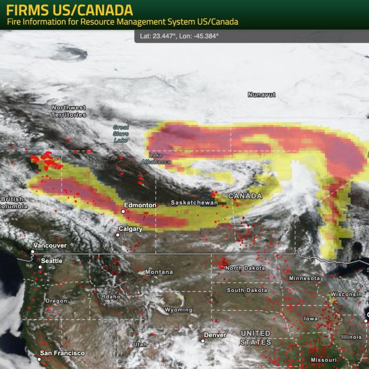
NASA’s Fire Information for Resource Management System (FIRMS) provides natural resource managers with near real-time active fire/hotspot locations using satellite-derived fire information.
Blog
May 24, 2024

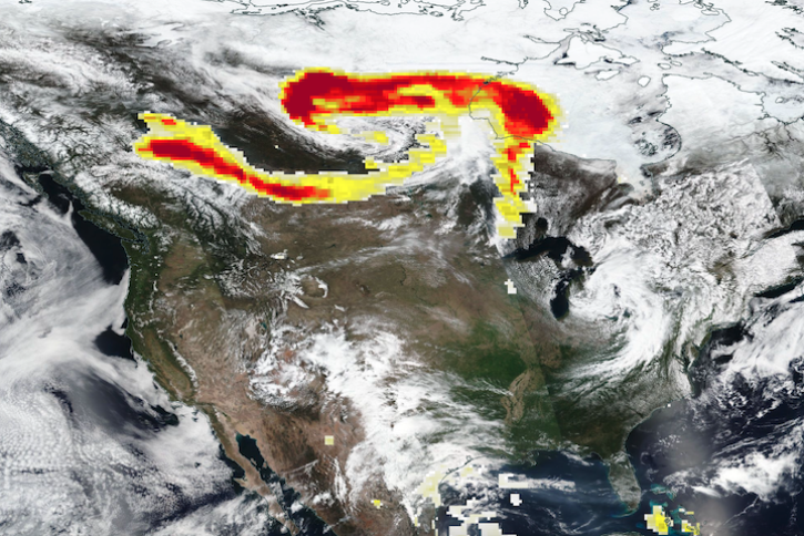
Base true-color corrected reflectance image acquired by the VIIRS instrument aboard the joint NASA/NOAA Suomi NPP satellite on May 21, 2024, overlaid with the Fires and Thermal Anomalies and Aerosol Index layers.
Worldview Image of the Week
May 23, 2024
In a new NASA Earthdata video tutorial playlist, learn how to use NASA POWER tools and services to explore solar and meteorological datasets that support the renewable energy, sustainable building, and agroclimatology user communities.
News
May 23, 2024
The collaborative development of a weather and climate artificial intelligence (AI) foundation model supports a broad range of public safety and science applications.
Blog
May 22, 2024
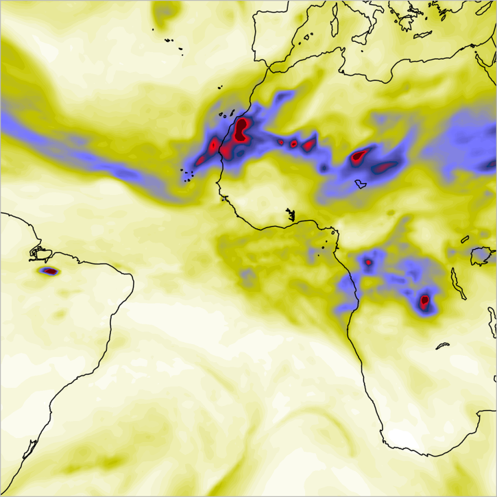
Base corrected reflectance image acquired May 11, 2024, by the VIIRS instrument aboard the joint NASA/NOAA Suomi NPP satellite and overlaid with Aerosol Index values from the OMPS instrument.
Worldview Image of the Week
May 16, 2024

New ocean color, nighttime lights, corrected reflectance, and other layers have been added to Worldview's extensive catalog of satellite imagery.
News
May 14, 2024

Image captured on Apr 24, 2024, by the VIIRS instrument aboard the joint NASA/NOAA NOAA-20 satellite.
Worldview Image of the Week
April 25, 2024
New data tutorials are available for working with methane data from NASA's Earth Surface Mineral Dust Source Investigation (EMIT) mission.
News
April 10, 2024
SHOWING 8 OF 655