Delivery of Suomi National Polar-orbiting Partnership (Suomi NPP) satellite data products will cease on November 1, 2026. Data users should transition now to alternative products from NOAA-21 and NOAA-20.
Suomi NPP data announcement
Dust/Ash/Smoke News
Articles, resources, and announcements from Dust/Ash/Smoke.
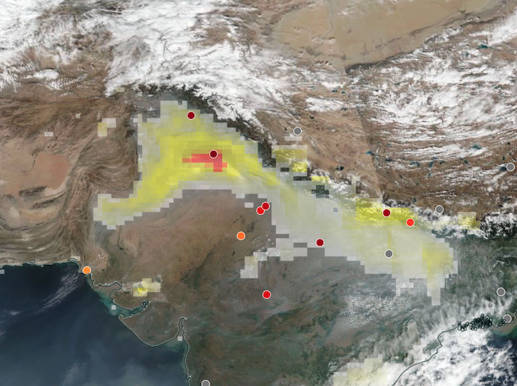
Base corrected reflectance image acquired on Nov 12, 2024, with aerosol index overlaid with ground-based aerosol optical depth measurements.
Worldview Image of the Week
Nov. 14, 2024
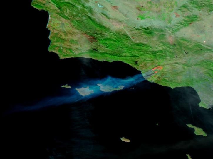
Image captured on Nov 6, 2024, by the VIIRS instrument aboard the NOAA-20 platform.
Worldview Image of the Week
Nov. 7, 2024
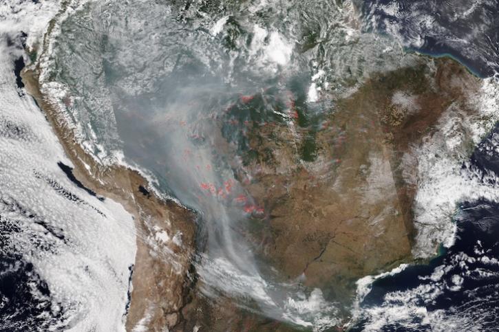
Image captured on Aug 28, 2024, by the VIIRS instrument aboard the joint NASA/NOAA NOAA-20 satellite.
Worldview Image of the Week
Aug. 29, 2024
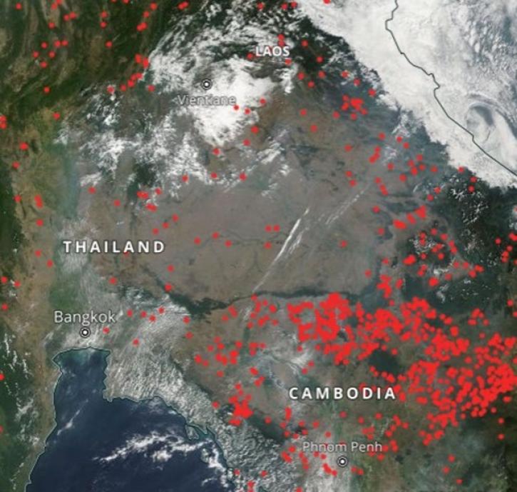
Geographer Veerachai Tanpipat promotes the use of NASA's Fire Information for Resource Management System (FIRMS) throughout the Lower Mekong River Region.
Feature Article
Aug. 20, 2024

Base corrected reflectance image with aerosol optical thickness acquired on August 15, 2024, by the Suomi NPP/VIIRS instrument overlaid with AERONET sites showing ground-based aerosol optical depth measurements.
Worldview Image of the Week
Aug. 16, 2024
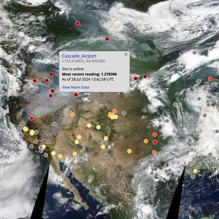
NASA Worldview added four layers from the Aerosol Robotic Network (AERONET) program to provide ground-based measurements of aerosol optical depth (AOD) and Angstrom parameter.
Blog
Aug. 16, 2024
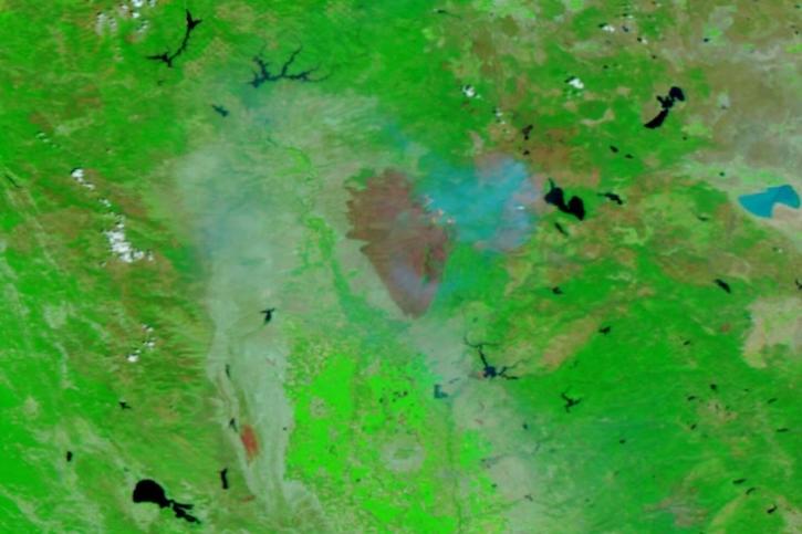
Image captured on July 31, 2024, by the VIIRS instrument aboard the joint NASA/NOAA NOAA-20 satellite.
Worldview Image of the Week
Aug. 1, 2024
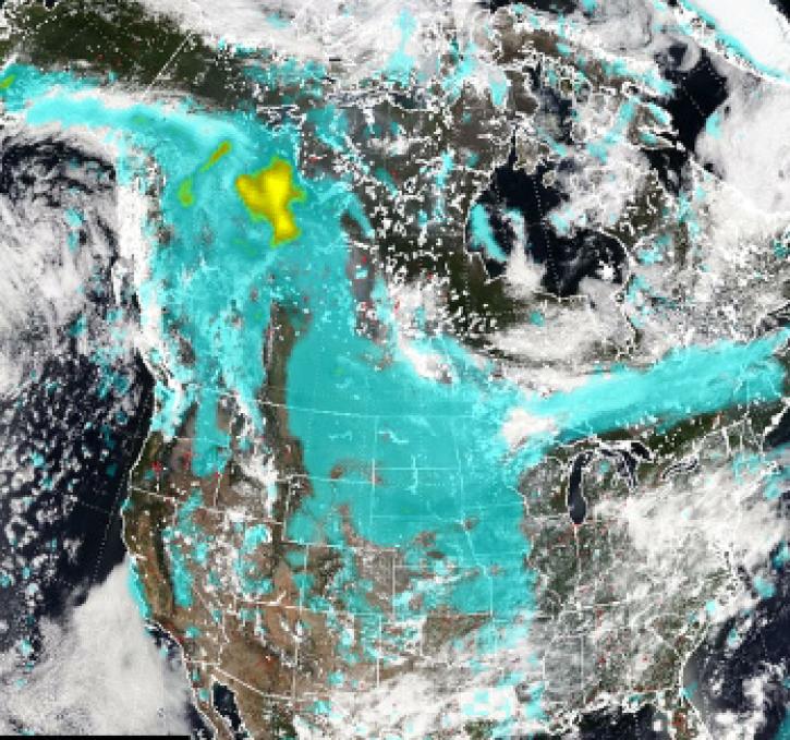
Pyrocumulonimbus (pyroCb) events (fire thunderstorms) caused by wildfires in western Canada were detected by the Ozone Mapping and Profiler Suite (OMPS) instrument July 19-24, 2024.
News
July 30, 2024
SHOWING 8 OF 212