Delivery of Suomi National Polar-orbiting Partnership (Suomi NPP) satellite data products will cease on November 1, 2026. Data users should transition now to alternative products from NOAA-21 and NOAA-20.
Suomi NPP data announcement
Dust/Ash/Smoke News
Articles, resources, and announcements from Dust/Ash/Smoke.
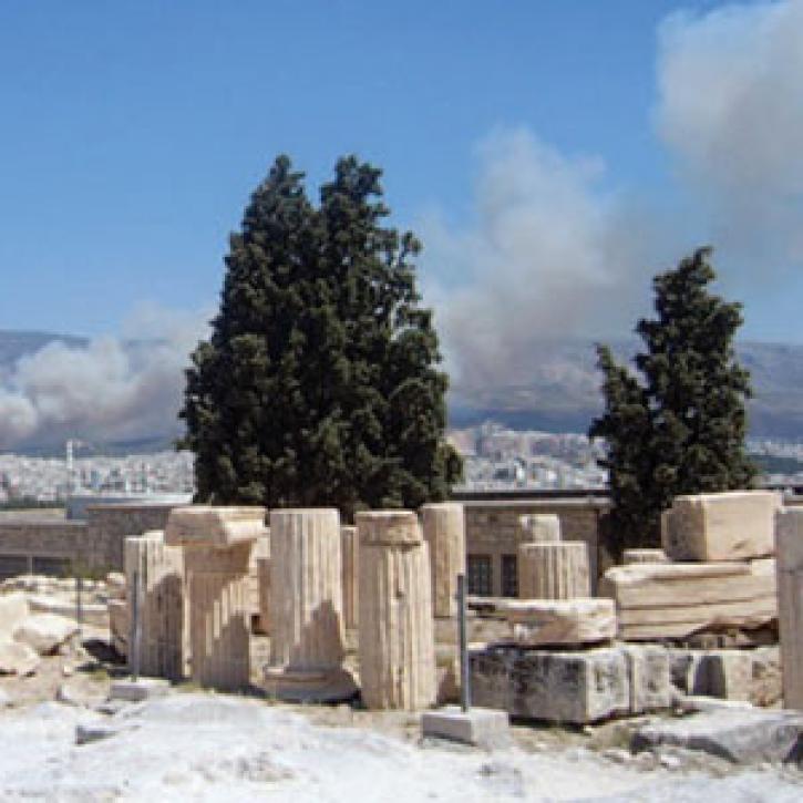
The effects of forest fires show up in a multi-satellite view of pollution.
Feature Article
Dec. 28, 2020
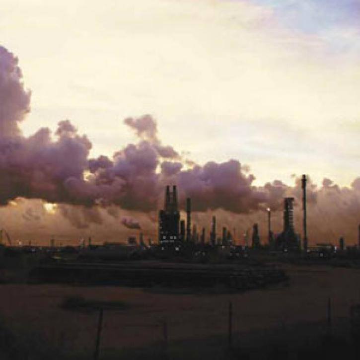
Distant pollution sources worsen local air quality in southeastern Texas.
Feature Article
Dec. 28, 2020

Researchers investigate how much wildfires contribute to pollution, and how far this pollution can travel.
Feature Article
Dec. 28, 2020
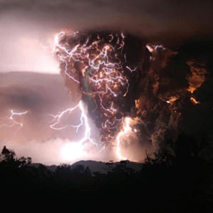
A train of satellites follows the atmospheric effects of a volcanic eruption.
Feature Article
Dec. 27, 2020
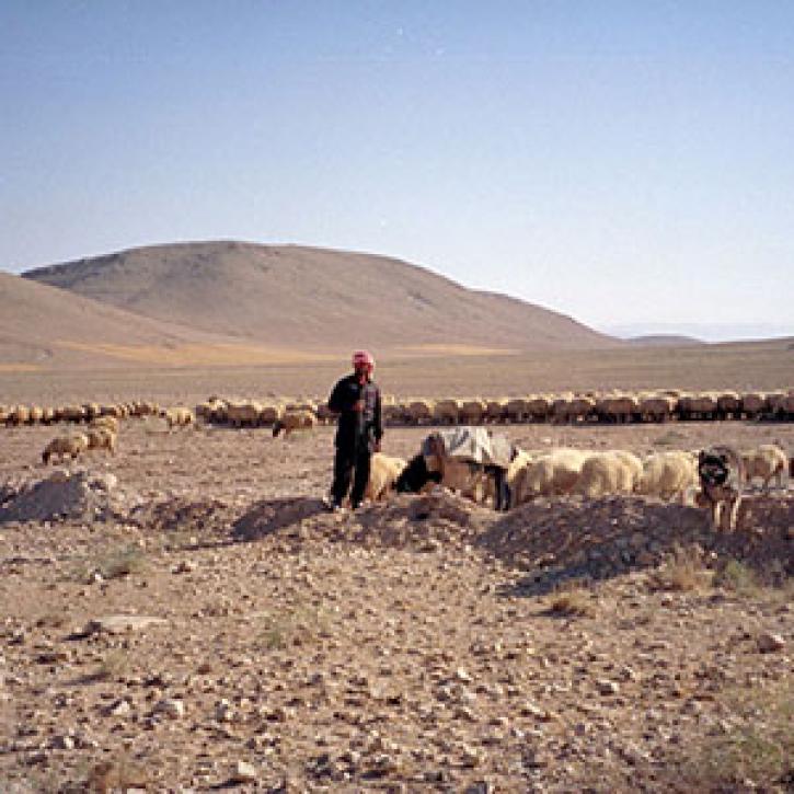
Drought turns the Fertile Crescent into a dust bowl.
Feature Article
Dec. 27, 2020
Researchers explore the links between atmospheric aerosols, climate change, and ultraviolet rays.
Feature Article
Dec. 27, 2020

Who uses NASA Earth science data? Dr. Santiago Gassó, to study the concentration and global movement of dust.
Data User Story
Dec. 22, 2020
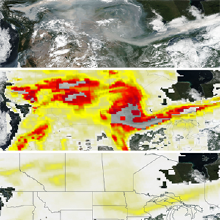
The new PyroCumuloNimbus product for the Ozone Mapping and Profiler Suite (OMPS) makes it easier to track and analyze high concentrations of aerosols from wildfires and similar events.
Feature Article
Nov. 4, 2020
SHOWING 8 OF 212