We are in the process of migrating all NASA Earth science data sites into Earthdata from now until end of 2026. Not all NASA Earth science data and resources will appear here until then. Thank you for your patience as we make this transition.
Read about the Web Unification Project
Atmospheric Temperature Data Access and Tools
NASA has atmospheric temperature datasets that help researchers measure the degree of warmth in various levels of the atmosphere. Access a range of data and data tools such as AppEEARS, Worldview, and Giovanni to make the most of atmospheric temperature data.
Table of contents
Featured Atmospheric Temperature Observation Method: MLS
The Microwave Limb Sounder (MLS) is radiometer and spectrometer that measures microwave thermal emission from the edge, or "limb," of Earth’s atmosphere. The MLS can measure vertical profiles of the atmosphere including temperature. The instrument acquires data globally day and night and can do so in the presence ice clouds and aerosols that would interfere with measurements from other devices.
In coordination with the Microwave Limb Sounder (MLS) team, we now have several MLS products available through the GIBS image access APIs.
Learn how to visualize Microwave Limb Sounder data through OPeNDAP.
The Microwave Limb Sounder Near-Real Time (MLS NRT) products are provided by the Land, Atmosphere Near-real time Capability for EOS (LANCE).
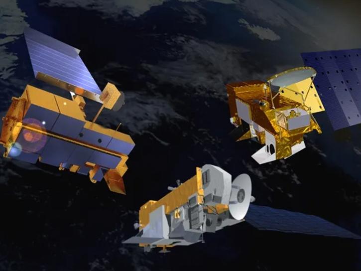
A new Request for Information (RFI) with responses due by April 4 seeks input for determining Terra, Aqua, and Aura mission data product continuity needs, capabilities, and gaps.
Atmospheric Temperature Datasets
Dataset | Platforms | Instruments | Temporal Extent | Location Keywords | Spatial Extent | Data Format |
---|---|---|---|---|---|---|
BOREAS AFM-05 Level-2 Upper Air Network Standard Pressure Level Data | METEOROLOGICAL STATIONS, BALLOONS | ANEMOMETERS, BAROMETERS, HUMIDITY SENSORS, THERMOMETERS, RADIOSONDES | 1993-08-16 to 1996-10-22 | N: 59.98 S: 50.09 E: -93.5 W: -111 | ASCII | |
BOREAS AFM-06 Mean Temperature Profile Data | FIELD INVESTIGATION | RASS | 1994-05-21 to 1994-09-21 | N: 59.34 S: 50.57 E: -94.08 W: -110.05 | ASCII | |
BOREAS AFM-06 Surface Meteorological Data | METEOROLOGICAL STATIONS | THERMOMETERS, ANEMOMETERS, RAIN GAUGES | 1994-05-21 to 1994-09-20 | N: 53.91 S: 53.91 E: -104.4 W: -104.4 | ASCII | |
BOREAS AFM-08 ECMWF Hourly Surface and Upper Air Data for the SSA and NSA | NOT APPLICABLE | NOT APPLICABLE | 1994-05-13 to 1997-03-31 | N: 62 S: 48 E: -92 W: -114 | ASCII | |
BOREAS Derived Surface Meteorological Data | FIXED OBSERVATION STATIONS, METEOROLOGICAL STATIONS | THERMOCOUPLES, HUMIDITY SENSORS, WIND MONITOR, BAROMETERS, NET RADIOMETERS, PYRANOMETERS, RAIN GAUGES, ULTRASONIC DEPTH GAUGE, INFRARED THERMOMETERS, Pyrgeometer, LICOR QUANTUM SENSOR | 1994-01-01 to 1996-12-31 | N: 56.25 S: 53.42 E: -97.23 W: -106.32 | ASCII | |
BOREAS Follow-On FLX-01 NSA-OBS Tower Flux, Meteorological, and Soil Temp. Data | FIXED OBSERVATION STATIONS, FIELD INVESTIGATION | EDDY CORRELATION DEVICES, RAIN GAUGES, THERMOCOUPLES, NET RADIOMETERS, LICOR QUANTUM SENSOR | 1996-10-31 to 1999-01-01 | N: 55.8801 S: 55.8801 E: -98.4814 W: -98.4814 | CSV | |
BOREAS Follow-On FLX-04 Tower Flux and Meteorological Data from NSA Burn Site | FIXED OBSERVATION STATIONS | IRGA, NET RADIOMETERS, LICOR QUANTUM SENSOR, THERMOCOUPLES | 1999-08-11 to 2000-09-30 | N: 60 S: 48 E: -90 W: -111 | CSV | |
BOREAS Follow-On HMet-01 Level-2 GOES-8 1996 Shortwave and Longwave Radiation | GOES-8 | GOES-8 Imager | 1996-02-12 to 1996-10-23 | N: 60 S: 50 E: -92 W: -111 | BSQ | |
BOREAS Follow-On HMet-02 Area and Regional Hourly Gridded Met. Data, 1994-1996 | METEOROLOGICAL STATIONS, GOES-7 | TEMPERATURE SENSORS, WIND MONITOR, RAIN GAUGES, PRESSURE SENSORS, VAS | 1994-01-01 to 1997-01-01 | N: 60 S: 48 E: -90 W: -111 | Binary | |
BOREAS Follow-On HMet-03 Hourly Meteorological Data at Flux Towers, 1994-1996 | FIXED OBSERVATION STATIONS | THERMOCOUPLES, ANEMOMETERS, BAROMETERS, HUMIDITY SENSORS, RAIN GAUGES, PYRANOMETERS | 1994-01-01 to 1996-12-01 | N: 56 S: 53 E: -98 W: -106 | CSV |
Pagination
SHOWING 10 OF 354
Frequently Asked Questions
Earthdata Forum
Our online forum provides a space for users to browse thousands of FAQs about research needs, data, and data applications. You can also submit new questions for our experts to answer.
Submit Questions to Earthdata Forumand View Expert Responses