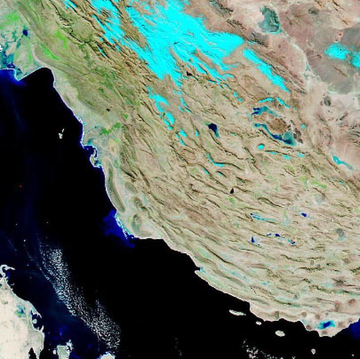
Atmospheric Rivers Data Access and Tools
From discovery to visualization, data tools such as Earthdata Search, Worldview, and Application for Extracting and Exploring Analysis Ready Samples (AppEEARS) guide users in making the most of atmospheric rivers data.
Atmospheric Rivers Datasets
| Dataset Sort descending | Version | Platforms | Instruments | Temporal Extent | Spatial Extent | Spatial Resolution | Data Format |
|---|---|---|---|---|---|---|---|
| Advanced Vertical Atmospheric Profiling System Dropsondes (AVAPS) IMPACTS | 1 | NASA P-3 | AVAPS | 2020-01-12 to 2023-02-28 |
N: 44.17 S: 33.54 E: -65.44 W: -77.815 |
ASCII | |
| Advanced Vertical Atmospheric Profiling System Dropsondes (AVAPS) WHyMSIE | 1 | G-III | AVAPS | 2024-10-30 to 2024-11-18 |
N: 41.1 S: 23.502 E: -72.719 W: -129.605 |
ICARTT, netCDF, PNG | |
| Aircraft Flux-Detrended: NRCC (FIFE) | 1 | DHC-6 | HYGROMETERS, INFRARED RADIOMETERS, PRESSURE TRANSDUCERS, EDDY CORRELATION DEVICES, NDIR GAS ANALYZER, RADAR ALTIMETERS, PYRANOMETERS, WIND PROFILERS | 1987-06-26 to 1989-10-31 |
N: 40 S: 37 E: -95 W: -102 |
multiple | |
| Aircraft Flux-Detrended: U of Wy. (FIFE) | 1 | B-200 | HYGROMETERS, INFRARED RADIOMETERS, PRESSURE TRANSDUCERS, EDDY CORRELATION DEVICES, NDIR GAS ANALYZER, RADAR ALTIMETERS, PYRANOMETERS, WIND PROFILERS | 1987-08-11 to 1989-10-31 |
N: 40 S: 37 E: -95 W: -102 |
multiple | |
| Aircraft Flux-Detrended: Univ. Col. (FIFE) | 1 | B-200 | HYGROMETERS, INFRARED RADIOMETERS, PRESSURE TRANSDUCERS, EDDY CORRELATION DEVICES, NDIR GAS ANALYZER, RADAR ALTIMETERS, PYRANOMETERS, WIND PROFILERS | 1987-05-26 to 1989-10-31 |
N: 40 S: 37 E: -95 W: -102 |
multiple | |
| Aircraft Flux-Filtered: NRCC (FIFE) | 1 | DHC-6 | HYGROMETERS, INFRARED RADIOMETERS, PRESSURE TRANSDUCERS, EDDY CORRELATION DEVICES, NDIR GAS ANALYZER, RADAR ALTIMETERS, PYRANOMETERS, WIND PROFILERS | 1987-06-26 to 1989-10-31 |
N: 40 S: 37 E: -95 W: -102 |
multiple | |
| Aircraft Flux-Filtered: U of Wy. (FIFE) | 1 | B-200 | HYGROMETERS, INFRARED RADIOMETERS, PRESSURE TRANSDUCERS, EDDY CORRELATION DEVICES, NDIR GAS ANALYZER, RADAR ALTIMETERS, PYRANOMETERS, WIND PROFILERS | 1987-08-11 to 1989-10-31 |
N: 40 S: 37 E: -95 W: -102 |
multiple | |
| Aircraft Flux-Filtered: Univ. Col. (FIFE) | 1 | B-200 | HYGROMETERS, INFRARED RADIOMETERS, PRESSURE TRANSDUCERS, EDDY CORRELATION DEVICES, NDIR GAS ANALYZER, RADAR ALTIMETERS, PYRANOMETERS, WIND PROFILERS | 1987-05-26 to 1989-10-31 |
N: 40 S: 37 E: -95 W: -102 |
multiple | |
| Aircraft Flux-Raw: NRCC (FIFE) | 1 | DHC-6 | HYGROMETERS, INFRARED RADIOMETERS, PRESSURE TRANSDUCERS, EDDY CORRELATION DEVICES, NDIR GAS ANALYZER, RADAR ALTIMETERS, PYRANOMETERS, WIND PROFILERS | 1987-06-26 to 1989-10-31 |
N: 40 S: 37 E: -95 W: -102 |
multiple | |
| Aircraft Flux-Raw: U of Wy. (FIFE) | 1 | B-200 | HYGROMETERS, INFRARED RADIOMETERS, PRESSURE TRANSDUCERS, EDDY CORRELATION DEVICES, NDIR GAS ANALYZER, RADAR ALTIMETERS, PYRANOMETERS, WIND PROFILERS | 1987-08-11 to 1989-10-31 |
N: 40 S: 37 E: -95 W: -102 |
multiple |
Frequently Asked Questions
Earthdata Forum
Our online forum provides a space for users to browse thousands of FAQs about research needs, data, and data applications. You can also submit new questions for our experts to answer.
Submit Questions to Earthdata Forumand View Expert Responses

