We are in the process of migrating all NASA Earth science data sites into Earthdata from now until end of 2026. Not all NASA Earth science data and resources will appear here until then. Thank you for your patience as we make this transition.
Read about the Web Unification Project
Filters

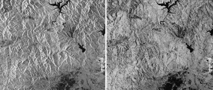
The European Remote Sensing (ERS) platforms provide scientists with historically accurate and easily accessible information to help further understand the dynamics of our planet.
News
Nov. 1, 2016

Learn how satellite data supported landslide detection in the French Alps, flowering pattern analysis for beekeepers, and mangrove ecosystem monitoring in Bangladesh and India.
Data in Action
Oct. 29, 2016
This data recipe guides users to terrain correct CEOS-formatted data granules for legacy platforms.
Data Recipe
Oct. 18, 2016
This data recipe walks users through viewing Radiometrically Terrain-Corrected (RTC) images in ArcGIS.
Data Recipe
Oct. 18, 2016

Learn how to view Radiometrically Terrain-Corrected (RTC) images in QGIS in this NASA data recipe.
Data Recipe
Oct. 18, 2016

Learn how to create and unwrap an interferogram with GMT5SAR script in this NASA Alaska Satellite Facility Distributed Active Archive Center (ASF DAAC) data recipe.
Data Recipe
Oct. 18, 2016

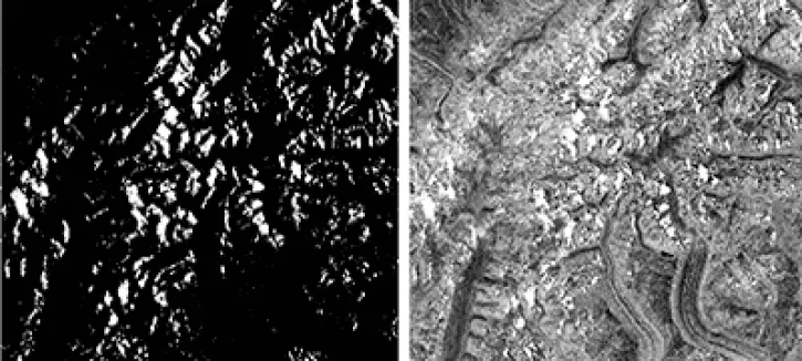
This data recipe demonstrates InSAR processing by analyzing a pair of Sentinel-1 images captured pre and post the 2016 Kumamoto earthquake in Japan.
Data Recipe
Oct. 2, 2016

Researchers used ASTER data to generate a map identifying exposed minerals on the Conterminous United States.
Data in Action
Sept. 20, 2016
SHOWING 8 OF 2379