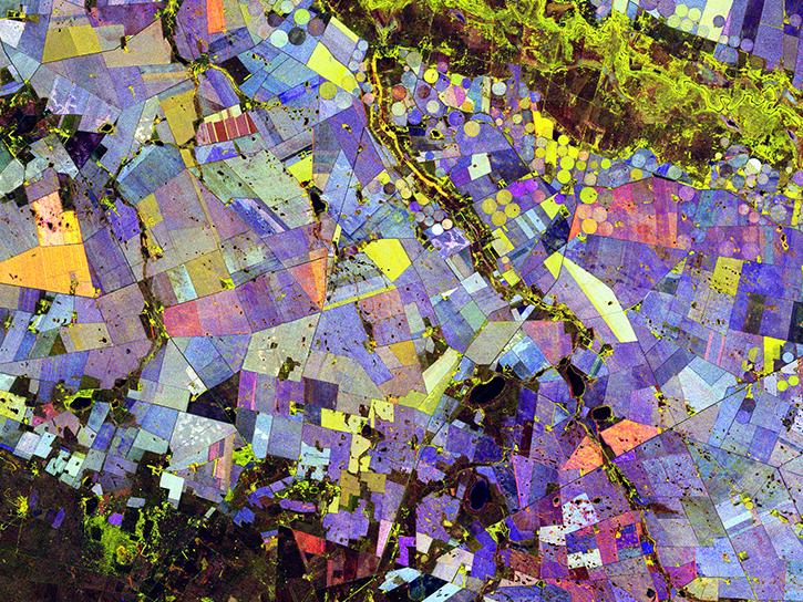
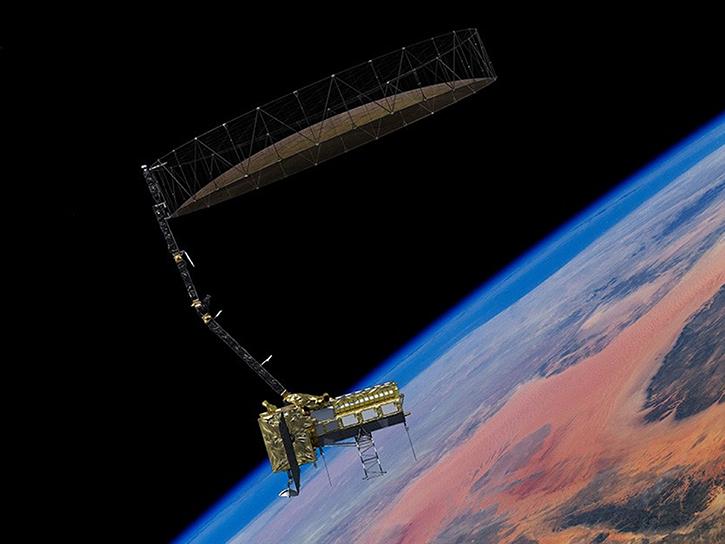
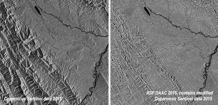
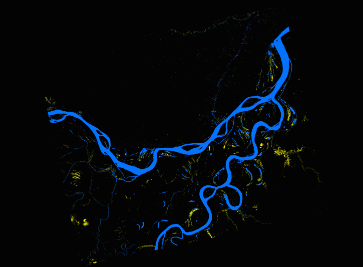
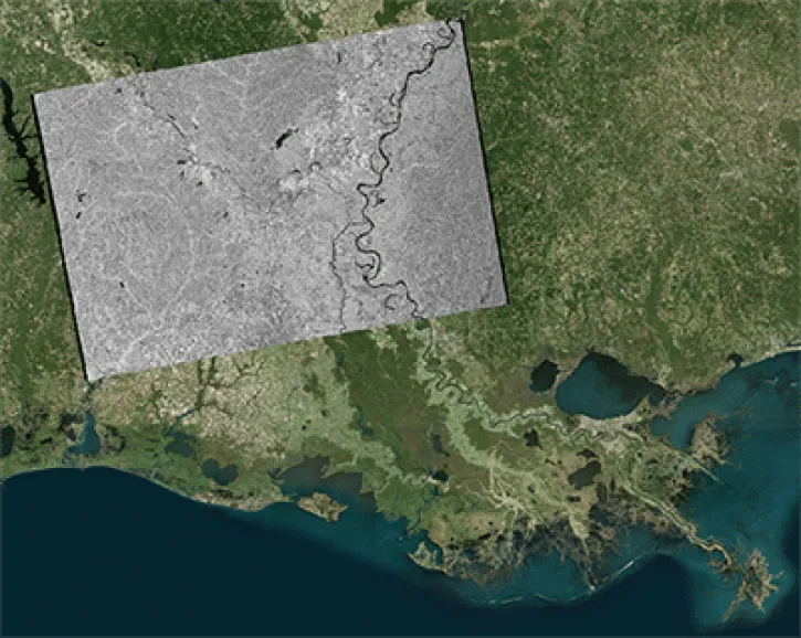
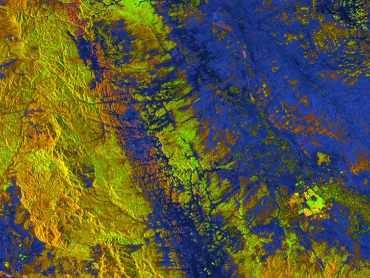
The Alaska Satellite Facility's Vertex is the search interface for finding synthetic aperture radar data for Earth science. The tool includes a multilingual component where you can search for data in Spanish and English, a location component for searching by area of interest, and a service for pre-processing data before download to cut down data volume and processing time.
Delivery of Suomi National Polar-orbiting Partnership (Suomi NPP) satellite data products will cease on November 1, 2026. Data users should transition now to alternative products from NOAA-21 and NOAA-20.
Suomi NPP data announcement