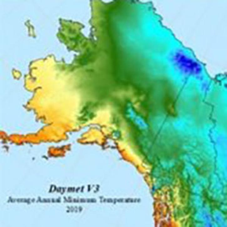
The Daymet Single Pixel Extraction Tool provides download of daily Daymet in a CSV tabular file format for a single geographic point (pixel) and provides visualization of the queried data as a graphical visualization. This data access option allows users to enter a single geographic point by latitude and longitude in decimal degrees. A routine is executed that translates the (lon, lat) coordinates into projected Daymet (x,y) coordinates.
From the Daymet dataset of daily interpolated surface weather variables, daily data from the nearest 1 km x 1 km Daymet grid cell are extracted and formatted as a table with one column for each Daymet variable and one row for each day. All daily data for selected years is returned as a single (long) table, formatted for display in the browser window or downloaded in a simple text format, suitable for import into a spreadsheet or other data analysis software. A Daymet Single Pixel Extraction Web Services API is provided. CSV file download is also possible through command utilities such as Wget and cURL.
