MODIS Resources

Earthdata resources for users working with NASA’s Moderate Resolution Imaging Spectroradiometer (MODIS) data include tutorials and other learning resources, news announcements such as instrument updates and data releases, user guides and related documents, and frequently asked questions.

MODIS Learning Resources

Filters
Join us to learn how to search and order datasets from NASA's Level-1 and Atmosphere Archive and Distribution System Distributed Active Archive Center (LAADS DAAC). Subsetting, reprojection, and data output post-processing operations in the Find Data tool will also be featured.
Webinar
May 18, 2022
SHOWING 8 OF 232

MODIS News

Filters
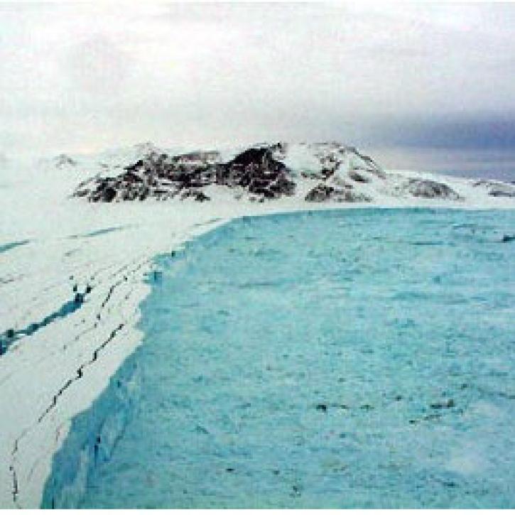
The Larsen B Ice Shelf disintegrated within 35 days between January 31 and March 7, 2002.
Feature Article
July 22, 2020
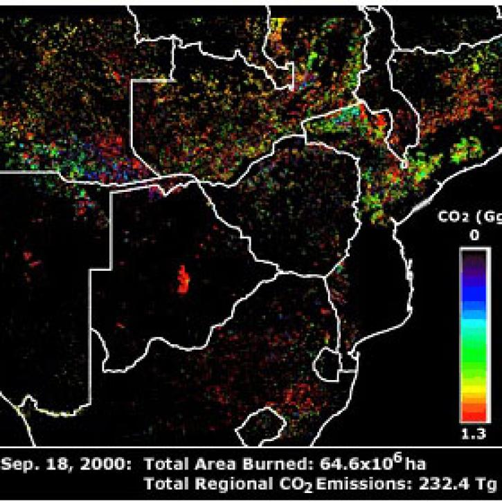
Publication from NASA ESDIS describing research uses of data from EOSDIS - land systems can change from something desirable to something undesirable.
Feature Article
July 22, 2020
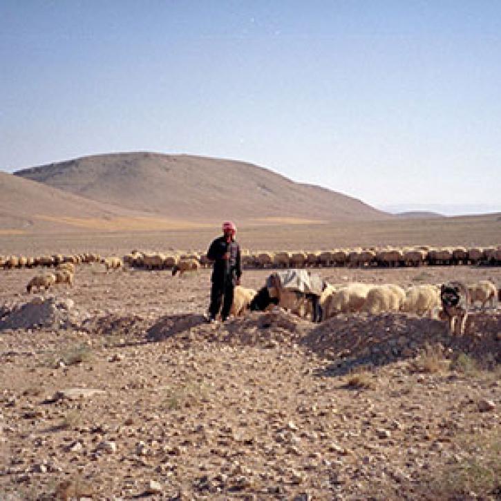
Remote estimates of crop yields help international aid agencies decide how to act.
Feature Article
July 21, 2020
SHOWING 4 OF 533

Get Help

QUESTIONS & SUPPORT

Have a question?

Get help with NASA Earth science data, datasets, tools, services, and metadata on the Earthdata Forum. Experienced staff in the data user community review and answer questions.

Get help on Earthdata Forum
Earthdata
Forum