ASTER Resources

View related stories and other resources for the Advanced Spaceborne Thermal Emission and Reflection Radiometer (ASTER) instrument. 

ASTER Learning Resources

Filters
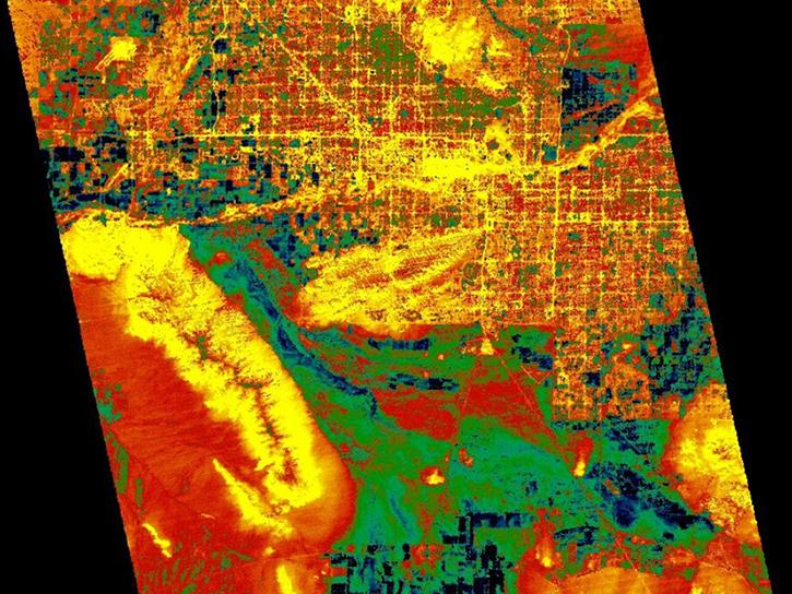
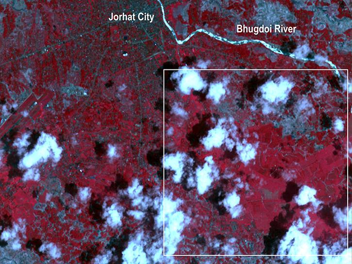
Explore how LP DAAC data was used to forecast spring wheat yields in Canada, track elevation change at a U.S. coal mine, and examine land cover impacts on urban heat in Phoenix, Arizona.
Data in Action
Nov. 25, 2014
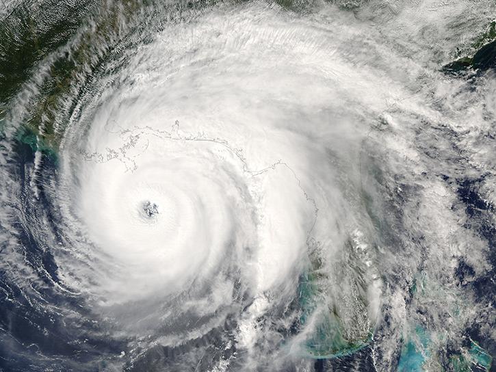
ASTER data are used to evaluate the affects of Hurricane Ivan, a unique and destructive storm, after making two U.S. landfalls.
Data in Action
Sept. 30, 2014
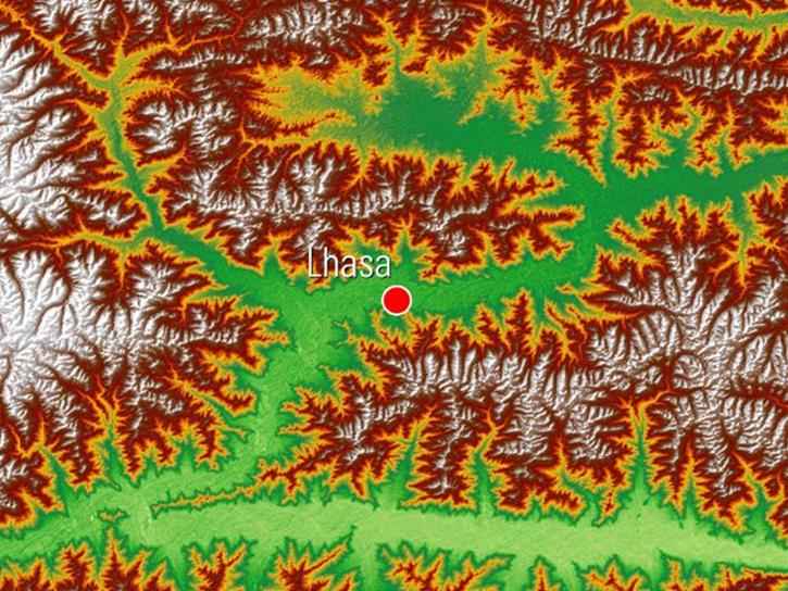
See how digital elevation models are used to create three-dimensional data visualizations, which provide an insightful perspective on landscapes.
Data in Action
Aug. 18, 2014
SHOWING 8 OF 65

ASTER News

Filters
Satellites keep an eye on ice loss and gain in Alaska.
Feature Article
Dec. 27, 2020
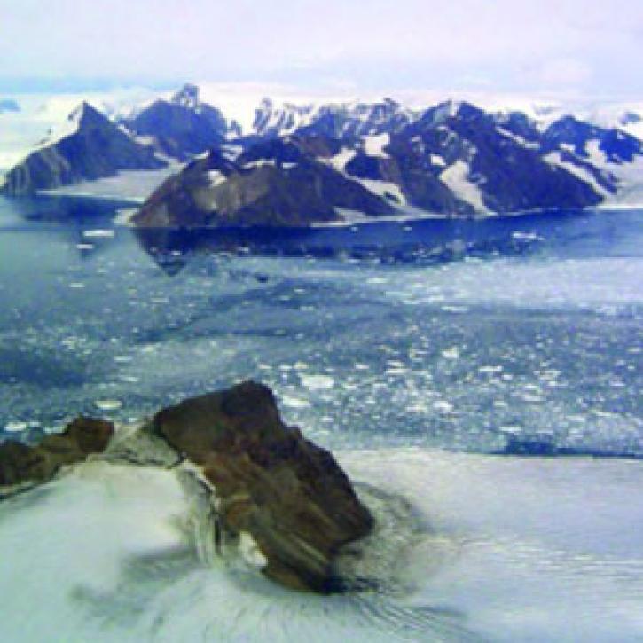
Researchers study the aftermath of the collapse of an Antarctic ice shelf to find out what might happen next.
Feature Article
Dec. 27, 2020
Who uses NASA Earth science data? Dr. Nancy French, to study the effects of wildfires on forest ecosystems.
Data User Story
Who uses NASA Earth science data? Dr. Mike Ramsey, for developing new ways to study active volcanoes and to provide data to support emergency response.
Data User Story
SHOWING 4 OF 64

Get Help

QUESTIONS & SUPPORT

Have a question?

Get help with NASA Earth science data, datasets, tools, services, and metadata on the Earthdata Forum. Experienced staff in the data user community review and answer questions.

Get help on Earthdata Forum
Earthdata
Forum