We are in the process of migrating all NASA Earth science data sites into Earthdata from now until end of 2026. Not all NASA Earth science data and resources will appear here until then. Thank you for your patience as we make this transition.
Read about the Web Unification Project
OMPS SIPS Learning Resources
Webinars, tutorials, data recipes and more to help you work with OMPS SIPS.
Filters

Join us on Wednesday, 6 May, 2015, 2-3PM ET to learn how to easily access, visualize and download many of NASA's Earth science data sets using the redesigned NASA Giovanni-4 Tool.
Webinar
April 15, 2022

This training builds capacity to apply Python codes and other online tools to work with datasets from NASA's Goddard Earth Observing System (GEOS).
Training
Feb. 22 - March 1, 2022
Learn how NASA’s GES DISC is working to increase access to NASA Earth science data through interoperable GIS image services such as Web maps, StoryMaps, Web applications, and desktop applications including ArcGIS Pro or QGIS. We will also show you how to access the image service through open science frameworks such as Jupyter Notebooks.
Webinar
Dec. 28, 2021

LANCE near real-time products enable the management of ongoing events; standard data products are heavily processed and intended for scientific research.
Data Basics
July 15, 2021

Esta capacitación de ARSET cubre el uso de observaciones terrestres para el monitoreo operativo de incendios.
Training
May 11-27, 2021
This ARSET training provides lectures and case studies focused on the use of Earth observations for operational fire monitoring.
Training
May 11-27, 2021

Learn how to visualize Microwave Limb Sounder data through OPeNDAP.
Data Recipe
May 4, 2021
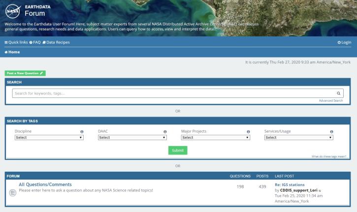
Join us for an introduction to the Earthdata Forum, a hub for submitting your questions about NASA Earth science data, services, and tools and for finding answers on how to discover and use the data distributed by the DAACs represented on the Earthdata Forum.
Webinar
Nov. 23, 2020
SHOWING 8 OF 38