We are in the process of migrating all NASA Earth science data sites into Earthdata from now until end of 2026. Not all NASA Earth science data and resources will appear here until then. Thank you for your patience as we make this transition.
Read about the Web Unification Project
MLS SIPS News
Articles, resources, and announcements from MLS SIPS.
Filters

Radiocarbon and satellite data hint at the future of California emissions.
Feature Article
Dec. 27, 2020

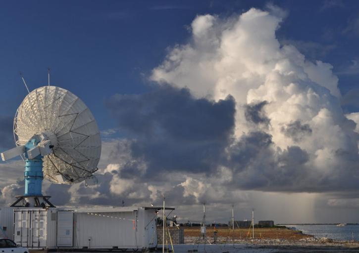
Convection meets the Indian Ocean for supersize weather.
Feature Article
Dec. 27, 2020

Who uses NASA Earth science data? Katherine Pitts, to study the impacts of climate change and analyze remotely-sensed geophysical data.
Data User Story
Dec. 22, 2020

Who Uses NASA Earth Science Data? John Lehrter, to study the water quality of estuarine and coastal environments
Data User Story
Dec. 22, 2020
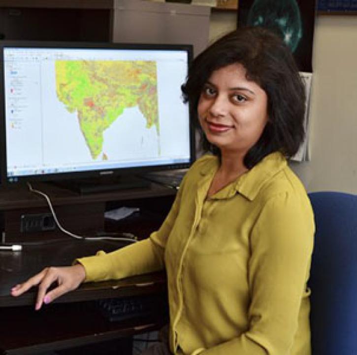
Who uses NASA Earth science data? Dr. Pinki Mondal, to study the effects of climate change on agricultural systems and communities.
Data User Story
Dec. 22, 2020

Knowing where species live in a particular region is only one piece of an ecological puzzle. You also need to know why they live where they do. Dr. Monica Papeş uses NASA Earth science data to find out.
Data User Story
Dec. 22, 2020

Who uses NASA Earth science data? Dr. Michael Dietze, to improve ecological models through the integration of remotely-sensed data.
Data User Story
Dec. 22, 2020
SHOWING 8 OF 164