Delivery of Suomi National Polar-orbiting Partnership (Suomi NPP) satellite data products will cease on November 1, 2026. Data users should transition now to alternative products from NOAA-21 and NOAA-20.
Suomi NPP data announcement
As part of the Web Unification Project, GES DISC content will be migrated in 2026.
Please visit GES DISC for more information.
GES DISC Learning Resources
Webinars, tutorials, data recipes and more to help you work with GES DISC.
Filters
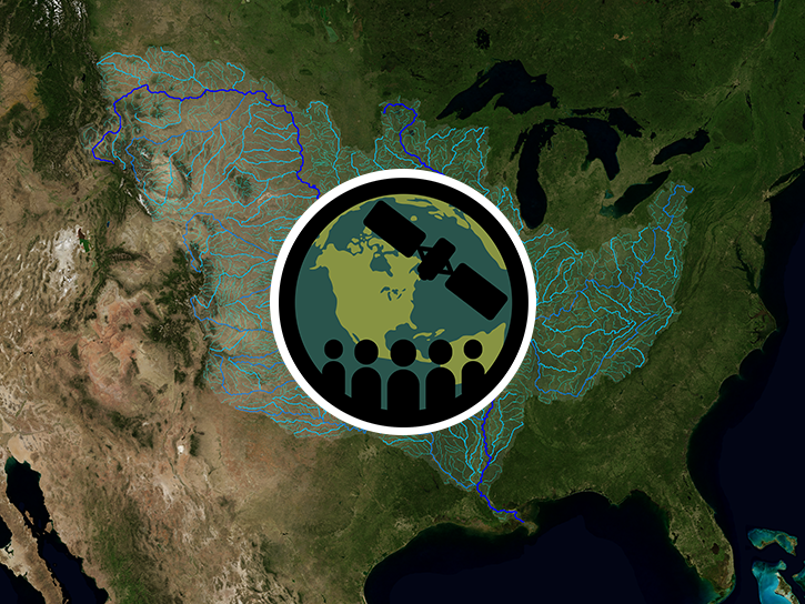
This ARSET training introduces using satellite data and Earth system modeling data sources to estimate surface water budgets.
Training
March 13 - April 3, 2019
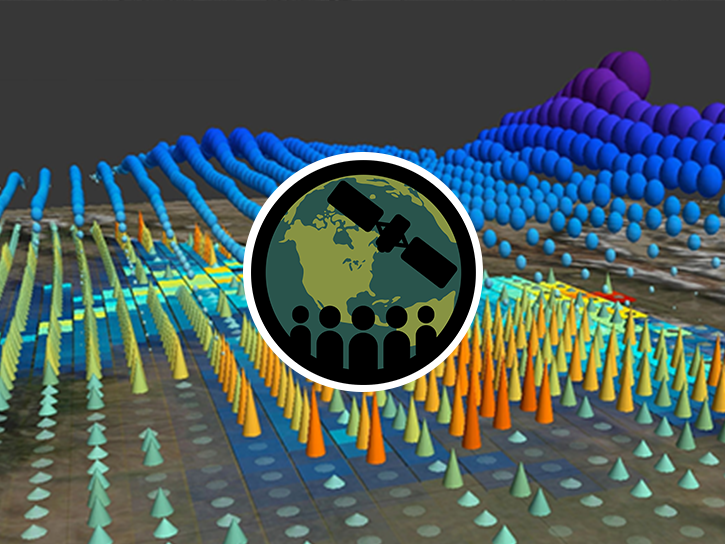
This ARSET training introduces the Variable Infiltration Capacity Model, sources of satellite-derived input data, and implementation of the model.
Training
Feb. 15 - March 1, 2018
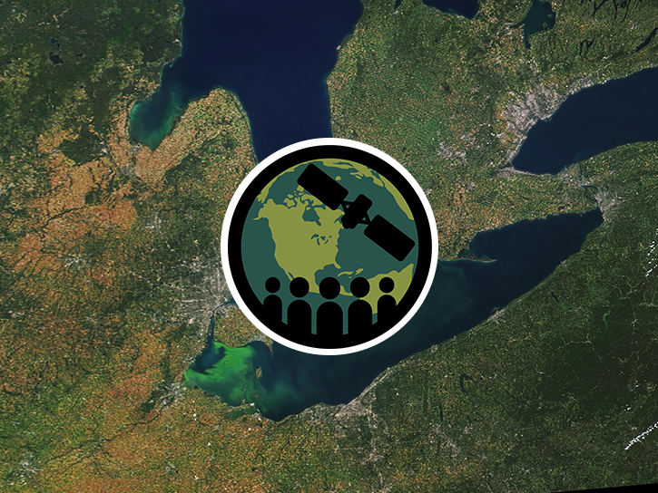
This ARSET training covers how to use remote sensing to identify impaired water quality from harmful algal blooms.
Training
Sept. 5-26, 2017
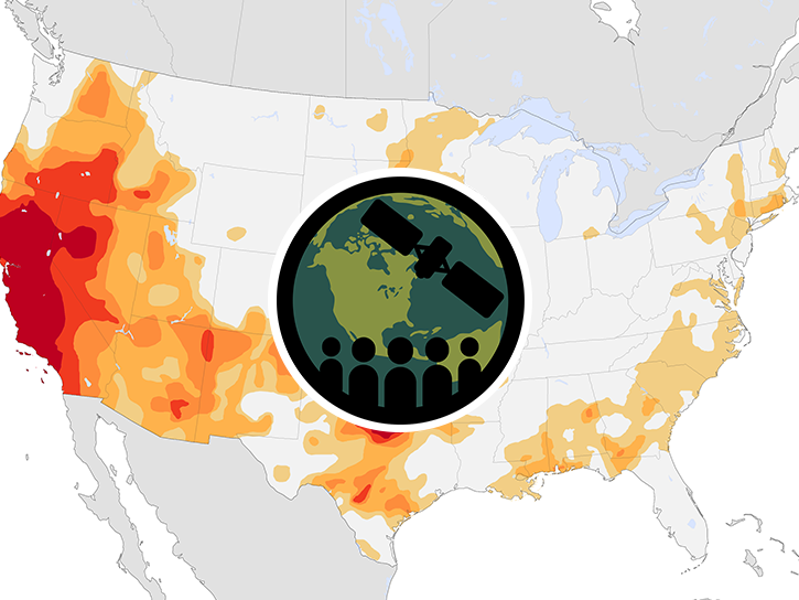
This ARSET training provides an overview of drought classification and web-based tools for drought monitoring and visualization.
Training
July 12-19, 2017

This API allows users to visualize Atmospheric Infrared Sounder data using a Common Metadata Repository search result.
Data Recipe
Jan. 5, 2017

Learn how to access and visualize Atmospheric Infrared Sounder (AIRS) grid data from NASA's Goddard Earth Sciences Data and Information Services Center (GES DISC) in Python.
Data Recipe
Oct. 2, 2014
SHOWING 6 OF 38